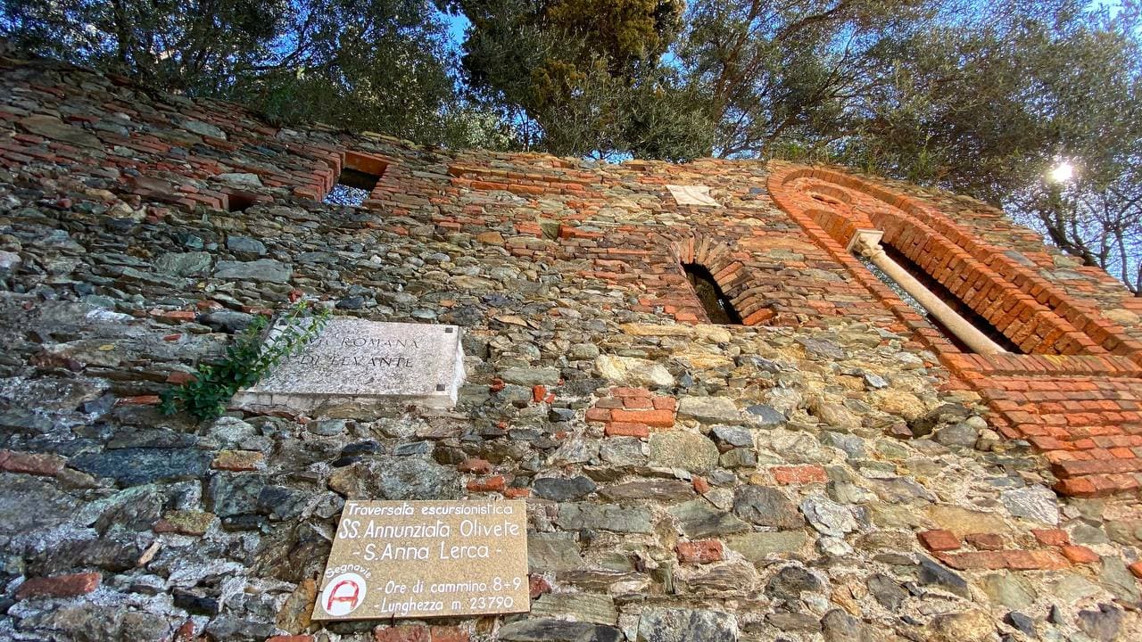
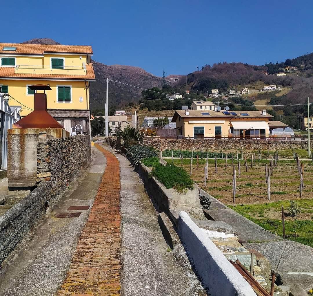
on the right of the church of "Nostra Signora delle Olivette", take an alley, at the first crossroads turn left and, having passed the motorway, you reach “Pian della Bicocca” where shortly after you take the path.
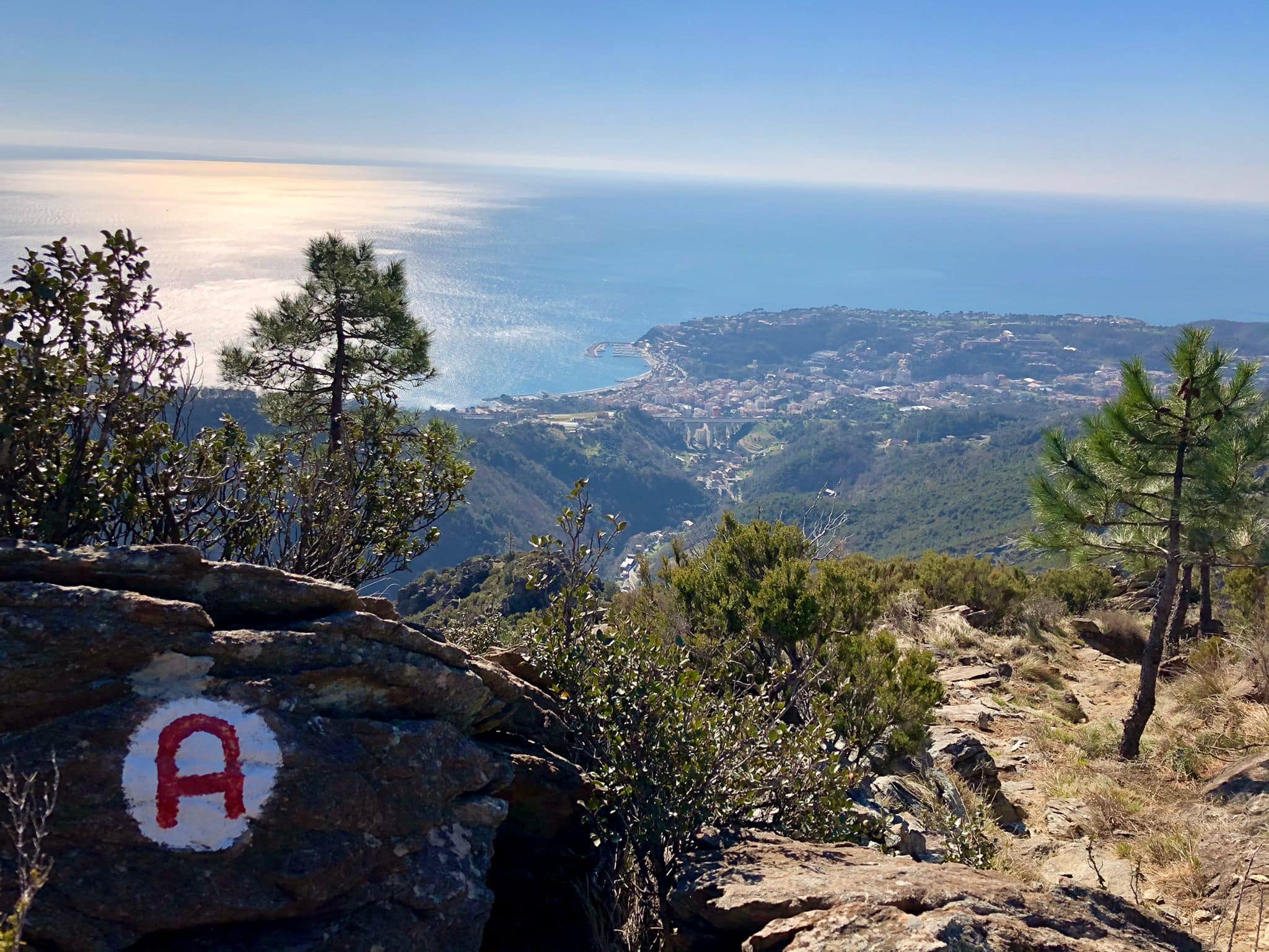
Spectacular path: the crossing from the Sanctuary of “Nostra Signora delle Olivette” to “Sant’Anna di Lerca”, does not touch any of the peaks that crown Arenzano, but offers a splendid scenery and mountain environments overlooking the sea.
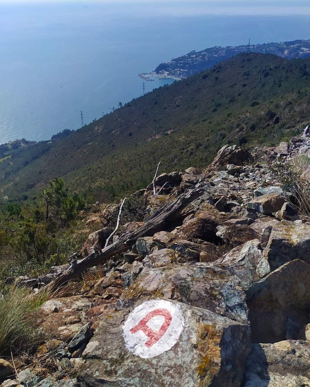
The hiker will appreciate the path carved into the rock or built with stone embankments suspended above the ravines.
The entire crossing takes about 8 hours of walking, but thanks to the connection with the numerous paths that rise from the sea, it can be walked one piece at a time.With the exception of a small part under the “Bricco dell'Omu”, it does not have strong differences in height; it is a route for all seasons, but it is especially suitable for winter.
After crossing the Bicocca vegetable gardens, the path climbs under the “Bricco dell'Omu” and intersects the Cantarena valley in its terminal part. From here the path, with continuous ups and downs, arrives at “Riparo Scarpeggin” hut.
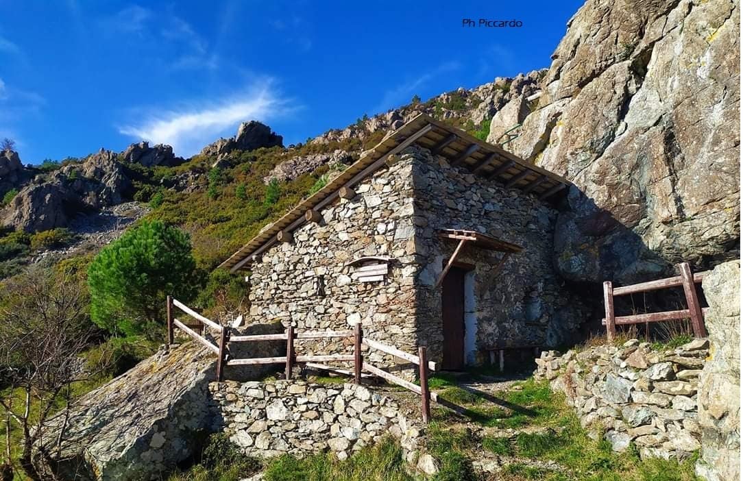
Continue towards the “Case Vaccà” hut and go up the road to the “Gava” and, after “Prato Liseu”, cross the valley between streams and small springs. You arrive under the “Argentea” peak and descend to the “Padre Rino” hut (Leveasso). After crossing the valley you arrive at the “Carbunea” house.
Then go up the hardest and most beautiful side of Monte Rama, until you cross “Via Diretta Zunino“, arriving at the “Bric Camulà” to finally descend to the beautiful chapel of “S. Anna”, behind the town of Lerca. From “Sant’Anna di Lerca” you can reach Arenzano in about 4 kilometers following the way-marker two parallel red line.