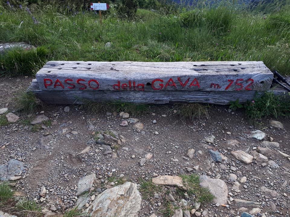
From the Arenzano motorway exit, turn right towards “Colletta”. Shortly before, turn right to “Terralba”, then take via Pecorara to “Curlo”, where you can park in a large car park. Continue on foot to the “Passo Gava”.
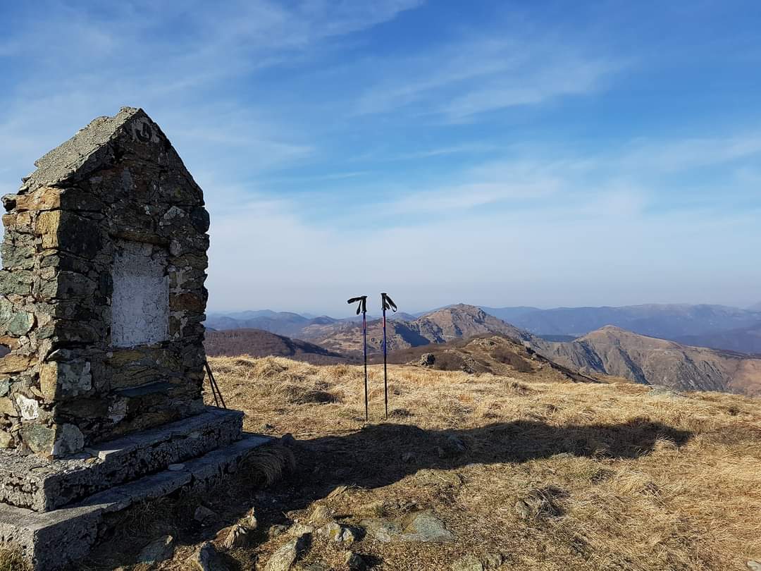
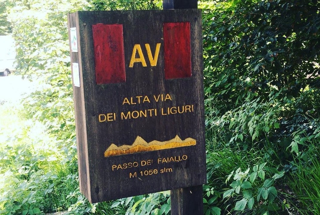
The Gava pass is the crossroads of the paths that connect Arenzano and Voltri to the peaks of the “Alta Via dei Monti Liguri”. From here take, diagonally to the north, an ancient mule track marked with two red points. On some rocks of the path you can still see the furrows left by the skates of the sleds that in ancient times carried the timber towards the sea. Rounding a ridge on the left you will find the “Gilwell” refuge (888m) obtained from the renovation of the former “Cascina Saiardo” by the Arenzano Scout Group.
A little further on, you cross a valley called “Malanotte”. At an altitude of about 1000 meters you meet the path marked with an “empty red square”, coming from “Sambuco”.
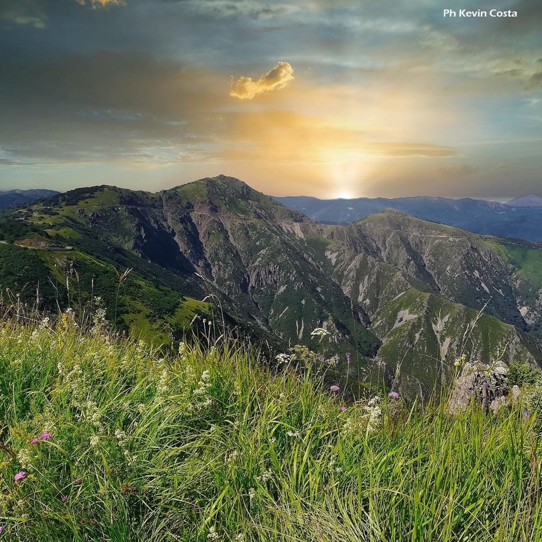
With a few hairpin bends, cross the head of the valley, where the sources of the Rio Secco are found, then climb the ridge that separates it from “Val Cerusa” (1075).
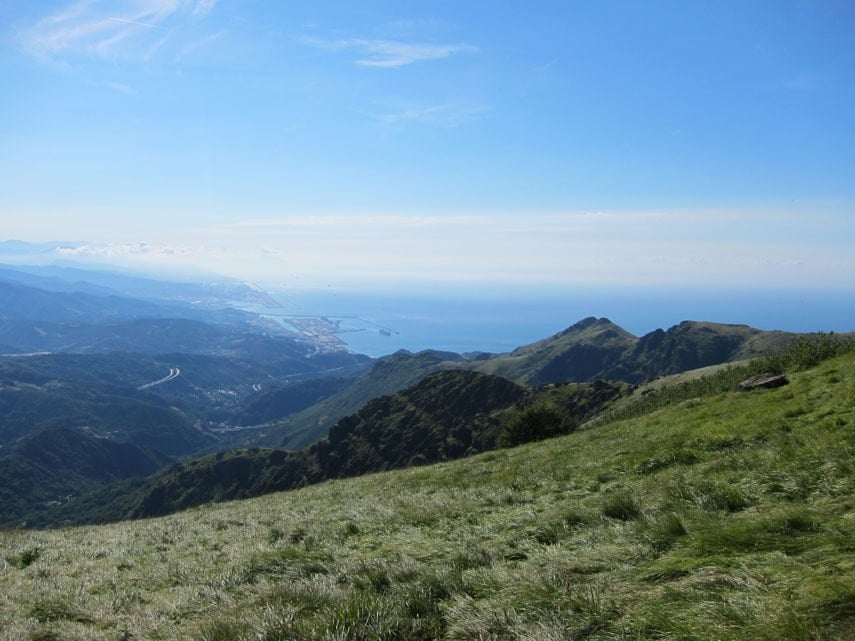
From here the mule track proceeds slightly downhill towards the northwest to the Cian de Toe meadow (1052 mt). Leaving the “empty red square” signpost on the left, which climbs up to Mount Reixa, proceed north into a beech forest, where you meet the Alta Via dei Monti Liguri: following it to the right you will soon reach the “Passo del Faiallo”.