From Arenzano (exit of the A10) take to Cogoleto but, as soon as the road begins to descend (locality Colletta), take a small road on the right. Cross the industrial area, then following the Lerone stream, pass a farmhouse and, after crossing a bridge, park at a hairpin bend in Motta (about 100 m, 3.5 km from Arenzano).
Follow the dirt road that starts from the uphill bend next to some houses. After crossing a meadow (Cian da Nave), continue in the woods next to the Rio Lerone, up to a bridge that crosses it. Following the red trail markers on the other side, go up the opposite bank with a few bends.
Intercept the path coming from Terralba, which must be followed to the left with a flat course, until you reach the Negrone Bridge, along an ancient aqueduct.
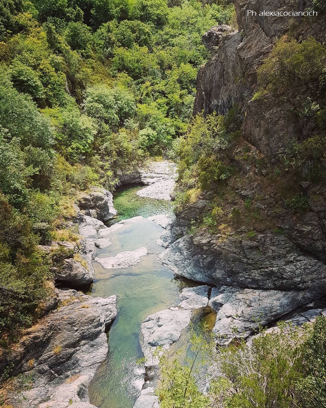
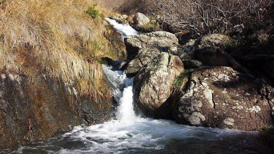
The very old bridge crosses a deep rocky gorge, just where the courses of the Leone and Negrone streams join to form the Lerone.
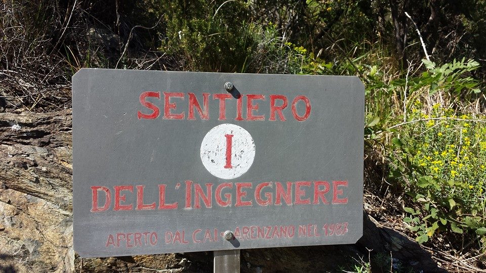
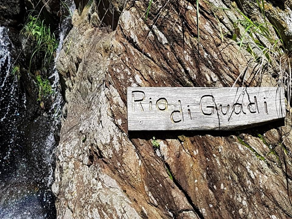
After the bridge, from which you can see interesting "giant pots", continue to the right, following the marker way I "Sentiero dell'Ingegnere". The path climbs at first with moderate slopes alongside the Rio Negrone, then steeper, at the base of strange rock formations. After crossing the stream, upstream to the left, another short climb in the woods leads to the foot of the wild gorge of the Rio Cû du Mundu. Beyond the mouth of the gorge, the path begins to go up, with a long series of hairpin bends, the steep Costa du Môu, between rocks and woods.
Leaving the detour of path C5 to the right, continue slightly downhill to the left, along trail I. This leads to the upper mouth of the Rio Cû du Mundu gorge.
Cross the river on stones and continue on the other side, in a beautiful pine forest. Climb some ridges, with beautiful views over the Gava area and Arenzano, with not too hard ups and downs.
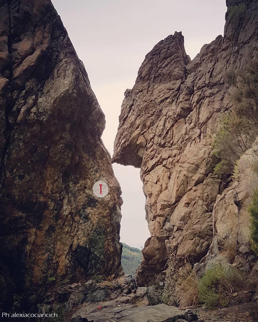
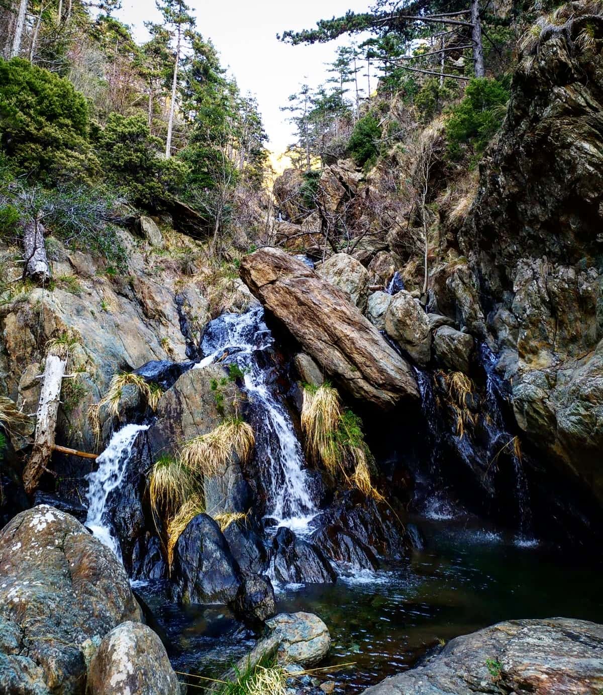
Going up a steep stretch like a staircase, you cross a small hill passing between rocky spikes and, descending on the other side, cross another stream (Rio Giassu de Vacche) which falls with a beautiful waterfall on the path.
Continuing along open slopes, among bushes and patches of pine, you cut across the Costa de l'Erbin base and, after passing another stream, you reach Ricovero Giazubellu, 360 m.
Following the trail markers I you reach the way markers ☆ directed to Monte Argentea, which you abandone to continue on the flat, exit by descending on the cart track that runs along the left bank of the “Rio di Lerca” valley. Following it to the left, in a steep descent (trail markers ▲), you will reach the houses of Campo (130 m). Going down a few bends along the asphalted road, back to the starting point.