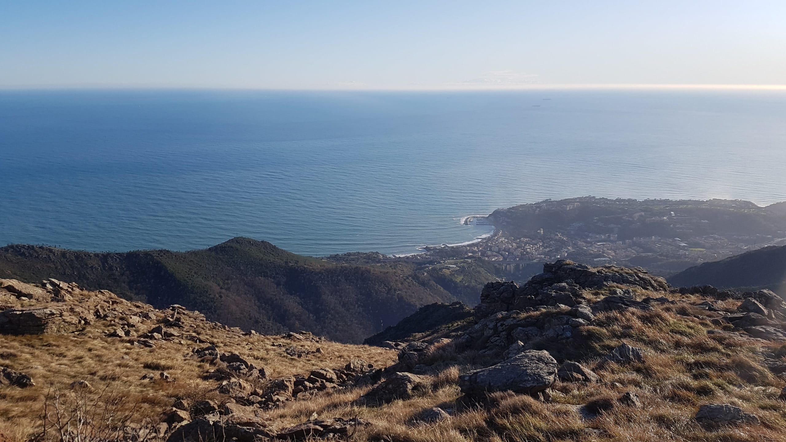
From Arenzano (exit of the A10) go to Cogoleto and, after about 300 m., turn right towards “Hospital” and “Terralba”.
Here, immediately after a pharmacy, turn left to “via Pecorara”, towards the Ornithological Center.
Once you have reached the “Curlo” picnic area, leave your car.
After passing a wooden bar and an illustrative panel of the “Beigua Park”, walk uphill along the road that becomes a dirt road, until you reach a crossroads, where you avoid the road on the left, direct to the Ornithological Center (Case Vaccà) and take, on the right, a path marked with two red marks. Shortly after, turn right again, following the red A to Rifugio Scarpeggin.
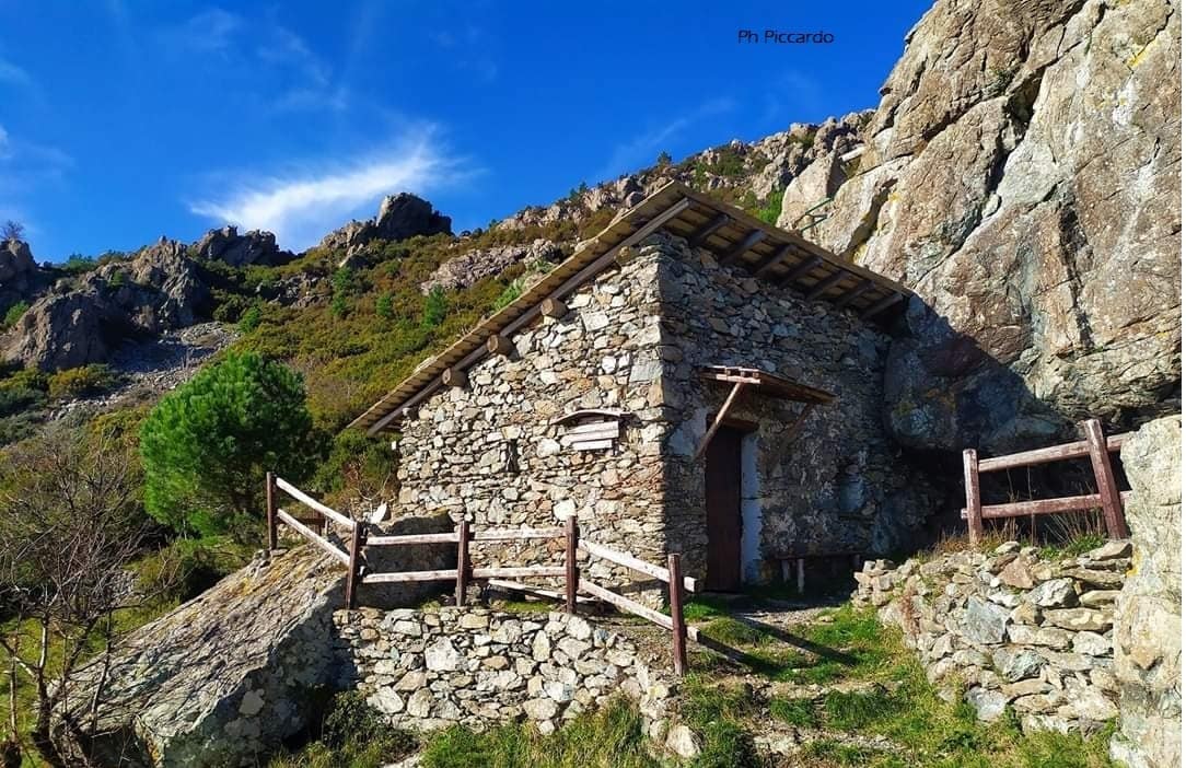
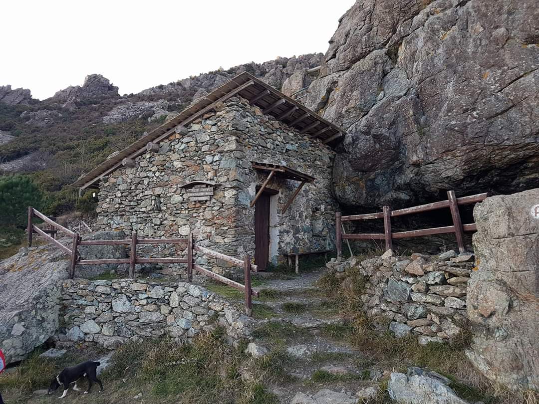
Arriving at the refuge, a support point for many climbers in the area, where there is also a spring, if you want, you can continue the ring to the east on path A, until you reach a crossroads, at which, always keeping to the right, you take the path V. The path ends in front of a farmhouse (Cà Bugioa) from which you proceed to the right until you come out on the paved road (Via Costa dei Frati). From here, continue on the right, uphill, and in front of a large tree you will find the indication of the path that leads back to Pian del Curlo.