From the Arenzano motorway exit, turn left towards Arenzano seafront, from where turn left via Vittorio Veneto, following the signs for Santuario delle Olivette.
From the right of the Santuario delle Olivette, a mule track leads, after a few meters, to a crossroads which, on the left, leads along the panoramic “Via della Bicocca”. After passing the motorway on the flyover, with a hairpin bend you arrive at Cian da Bicocca; then go straight uphill along a paved road, which joins the asphalt road coming from “Terrarossa”. Leaving a detour to the right, continue along a ridge to the next crossroads, there turn right up to two isolated houses. now take a steep path that passes next to an abandoned farmhouse, and reach a crossroads.
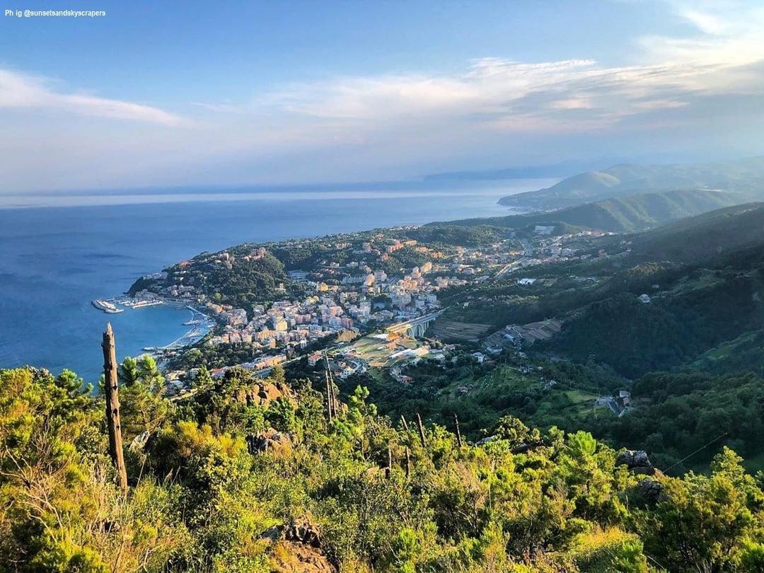
Leave the detour marked with an M to the right, and follow the red A, which leads to “Case Calzone”; here proceed to the right, along a dirt road, then turn left going up diagonally up to a ridge crossed by a gas pipeline. Here, leave the road to follow the pipeline to the right, climb decisively in the middle of woods and shrubs up to a crossroads at a saddle and near the “Briccu dell'Ommu”, a small peak that offers a complete view over the entire Ligurian coast.
Follow the waymark along the ridge, then turn right diagonally between rocks, shrubs and pine trees, to reach another ridge, which climbs steeply to the left.
Once you have climbed over the rocky ridge, known as “Bric del Vecchio”, leave the gas pipeline to the right and go around the small elevation of the “Bric del Vento”. At the next crossroads, proceed along the ridge, between shrubs and pines, passing the little raised Bric Negrixioa and briefly descending to the “Collettu Gabba” saddle, where there is an important crossroads.
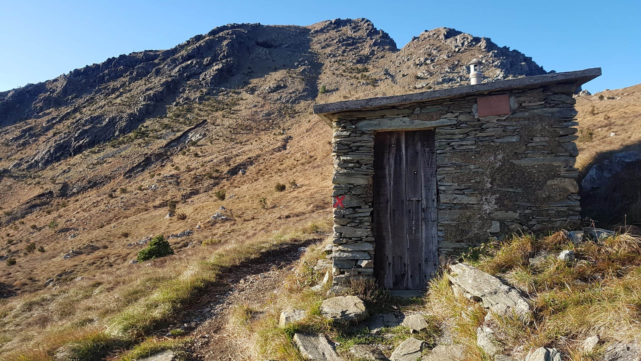
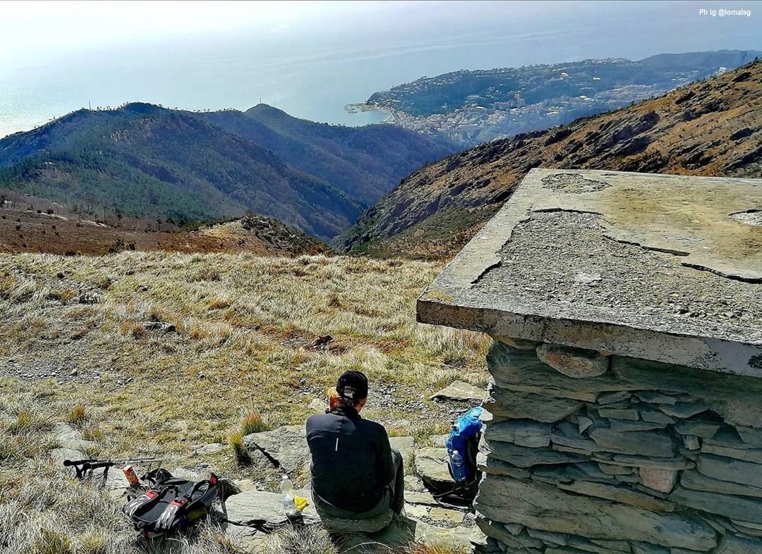
Leave the red A on the left, to continue along the ridge (mark via: M white). The path crosses the flat summit of “Cima di Mezzo” (563 m), where two electricity pylons meet, then out of the bush, it becomes more marked in an open environment of grass and rocks with a long traverse on the south-eastern side of the “Monte Pennone”. In this point it joins the mule track marked with a red X coming from Voltri, in correspondence with the small Shelter “ex-Dazio”, built in 1929 which housed the customs duty on the “via dell'Olba”.
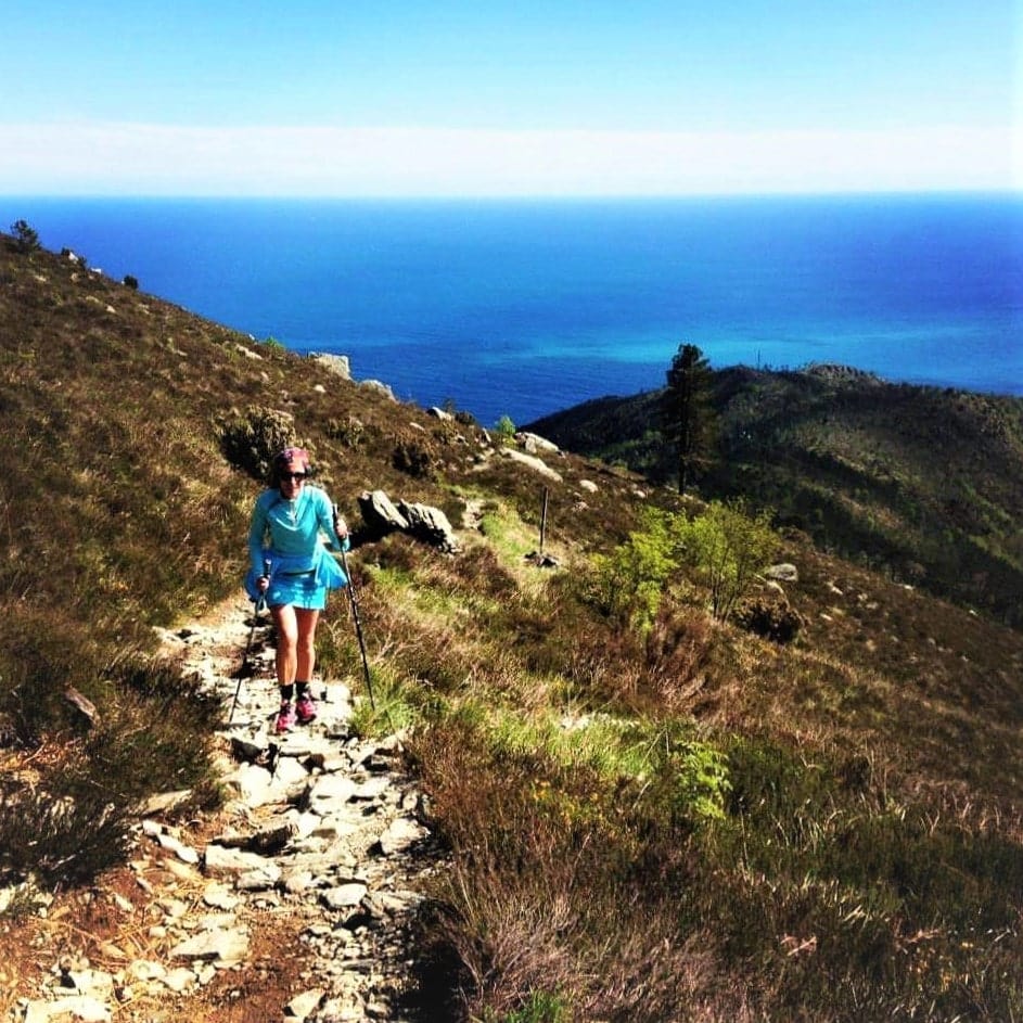
After a grassy saddle, the rocky southern slope of “Tardìa Levante” mountain is cut slightly uphill, with beautiful views of Arenzano.
The path reaches “Passo Tardìe” (858 m, a wide grassy saddle between the two peaks of “Monte Tardìa”.