From Arenzano railway station take Via Terralba - Church of San Bartolomeo di Terralba - Via Castellin - Via Val Lerone - Bridge over the Lerone stream - Church of Lerca - Cappelletta S. Anna - Aqueduct tank.
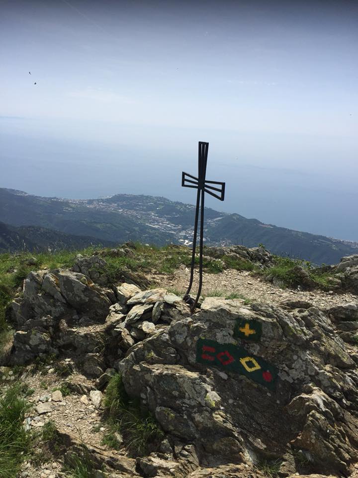
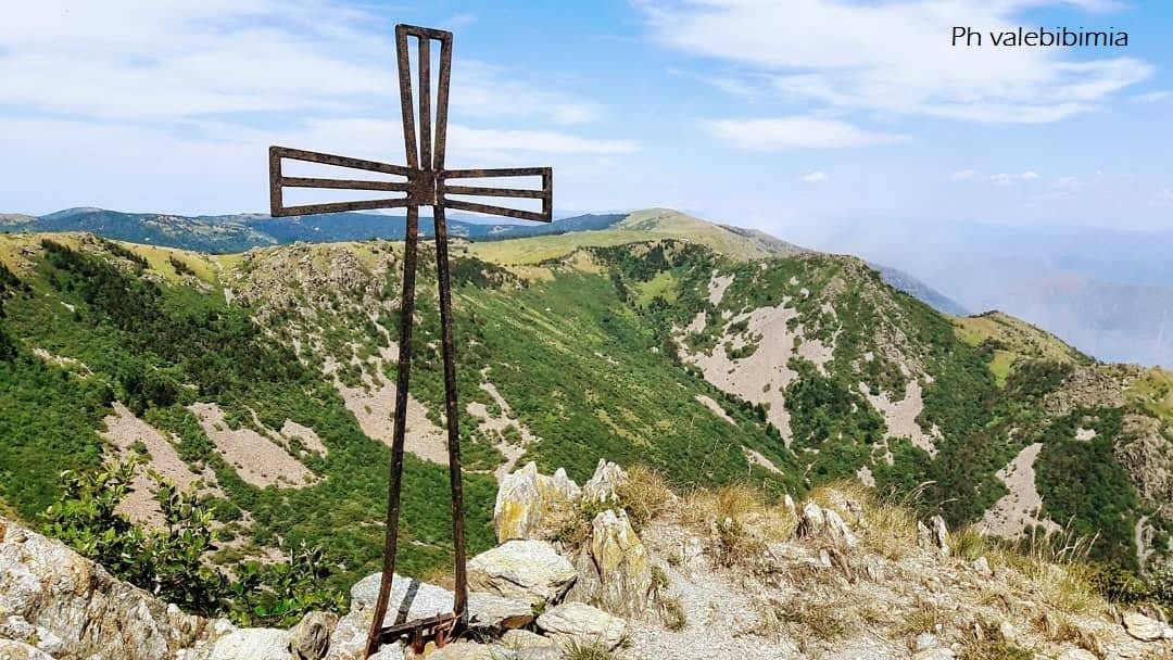
Monte Rama is the most beautiful peak of the Beigua Regional Natural Park, reachable by many climbing routes, with different difficulties for everyone.
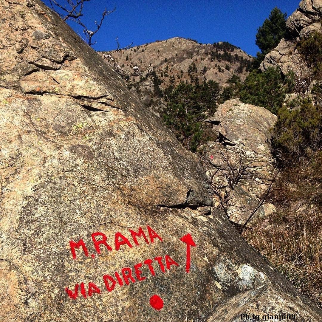
The Via Diretta is a very popular itinerary, along a mule track that climbs the steep south-east side of the mountain. Leaving the aqueduct tank to the right, take a path that climbs steeply towards the north-west, until you reach a mule track marked with two red lines and a red point; after about 500 meters from the beginning, pay attention to the deviation to the left where you continue, with only a red point, on a narrower path until you reach a dirt road that you go right for a short distance.
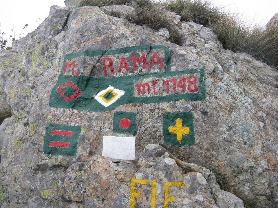
Return to the left path and continue through a thicket of pines and Mediterranean scrub. Then pass, between boulders and spikes with spectacular paved sections supported by dry stone walls, under the slopes of "Punta Coletta" and then on the ridge of "Bric Camulà”; go around it on the left halfway up, where you meet the deviation towards it top. From here the mule track climbs quickly and crosses the ridge at the "Passo Camulà" (790 m.). Then the path moves to the south-east side of "Monte Rama". Passing at the base of vertical rocky walls, continue up a steep slope of grass and rocks and you will meet a fork, where you leave a mule track marked with a red A on the right, and continue along the path marked with a red point, up to the top of the "Monte Rama".