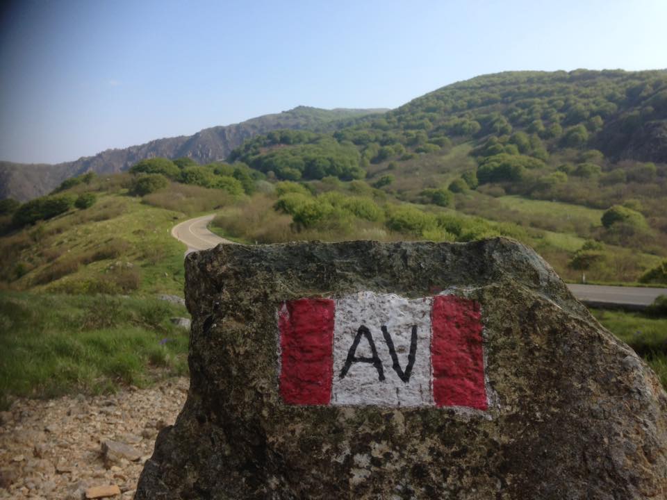
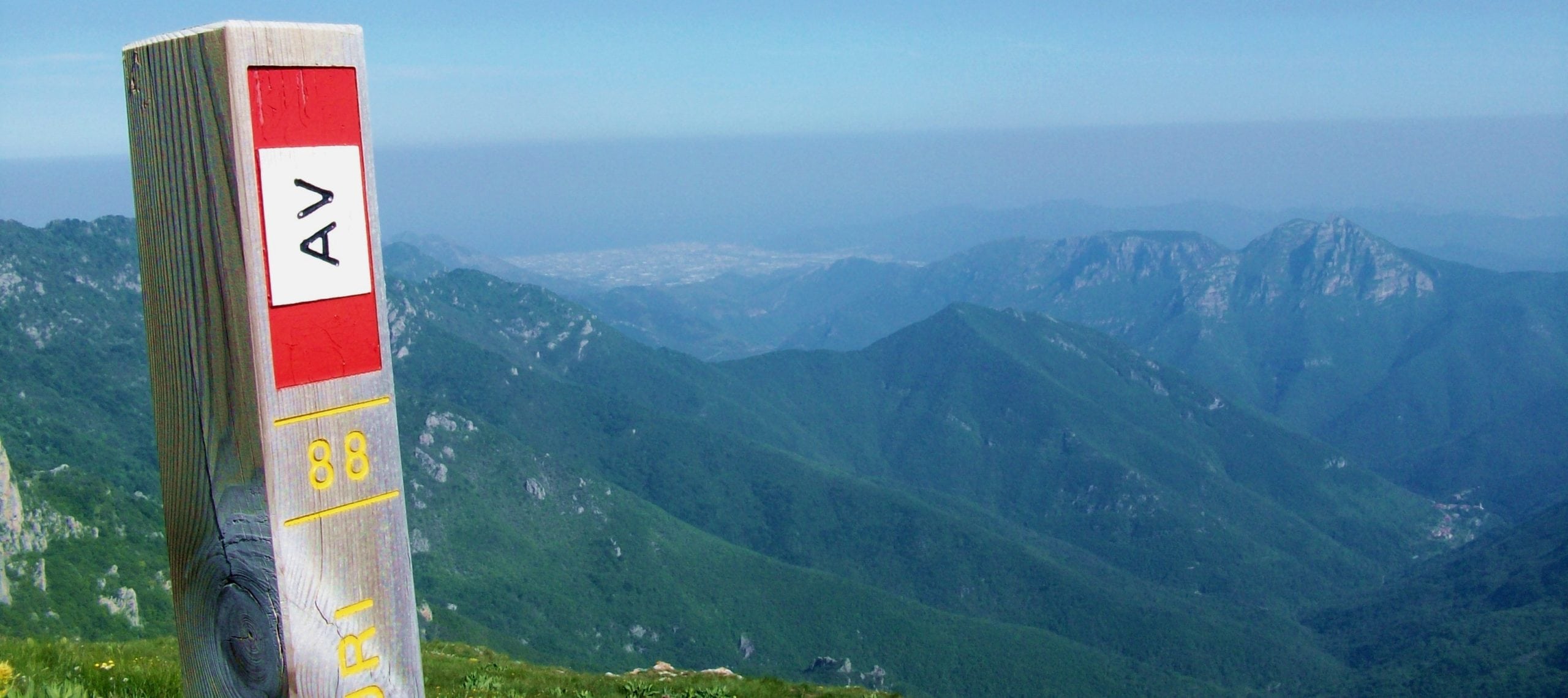
The “Alta Via dei Monti Liguri”, is a trekking itinerary of more than 400 km, which runs the main ridge of Liguria, with views from the Apuan Alps,the Gulf of Genoa, to Monviso and Monte Rosa, passing the Beigua Park over Arenzano.
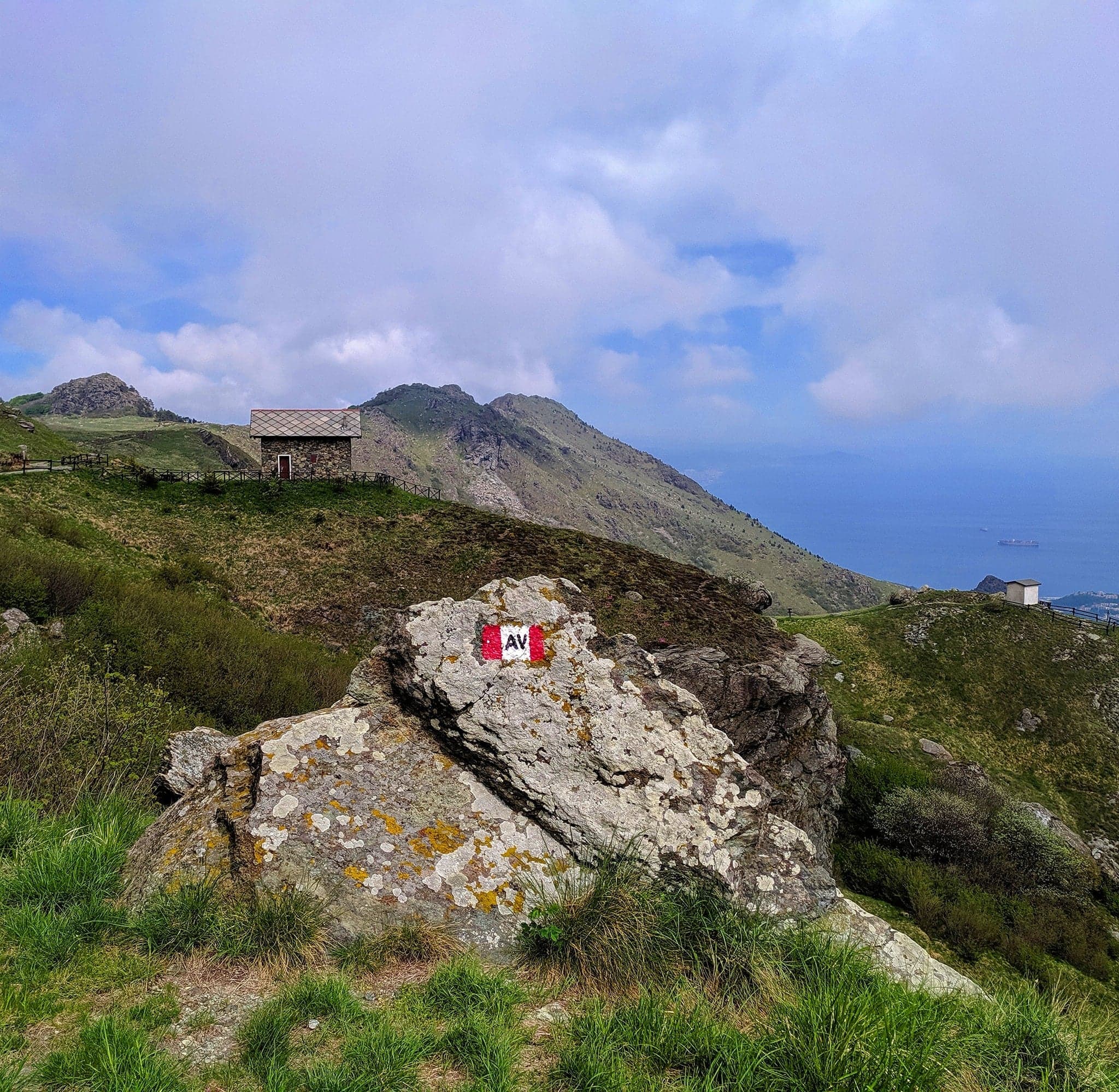
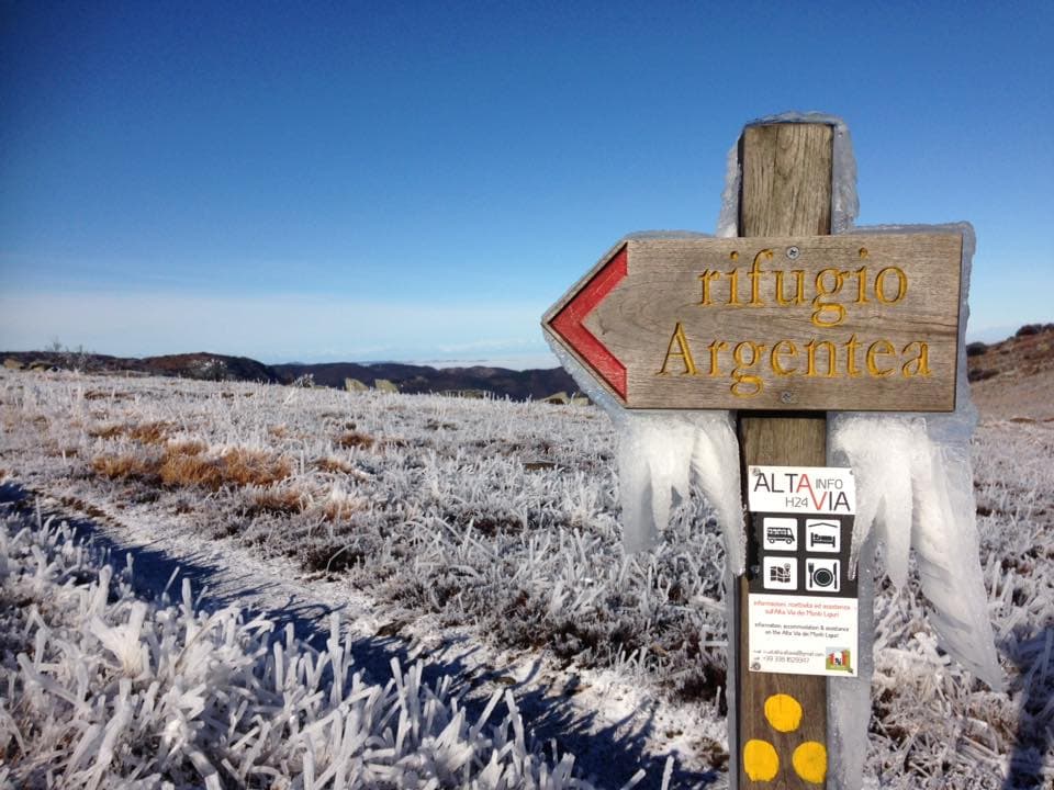
From “Prato Rotondo” refuge (1110 m), a cart track, crossing the watershed, touches the “Cima Frattin” peak (1145 m), skirts the wet meadow of “Cian Ferretto”, touches “Monte Rama” (1148 m), and after the "Giassu del Cane" meadows, the peak Monte Argentea (1086 m). After the “Passo Vaccaria” and “Monte Reixa”, the stage ends at the “Passo del Faiallo” Pass (1061 m)
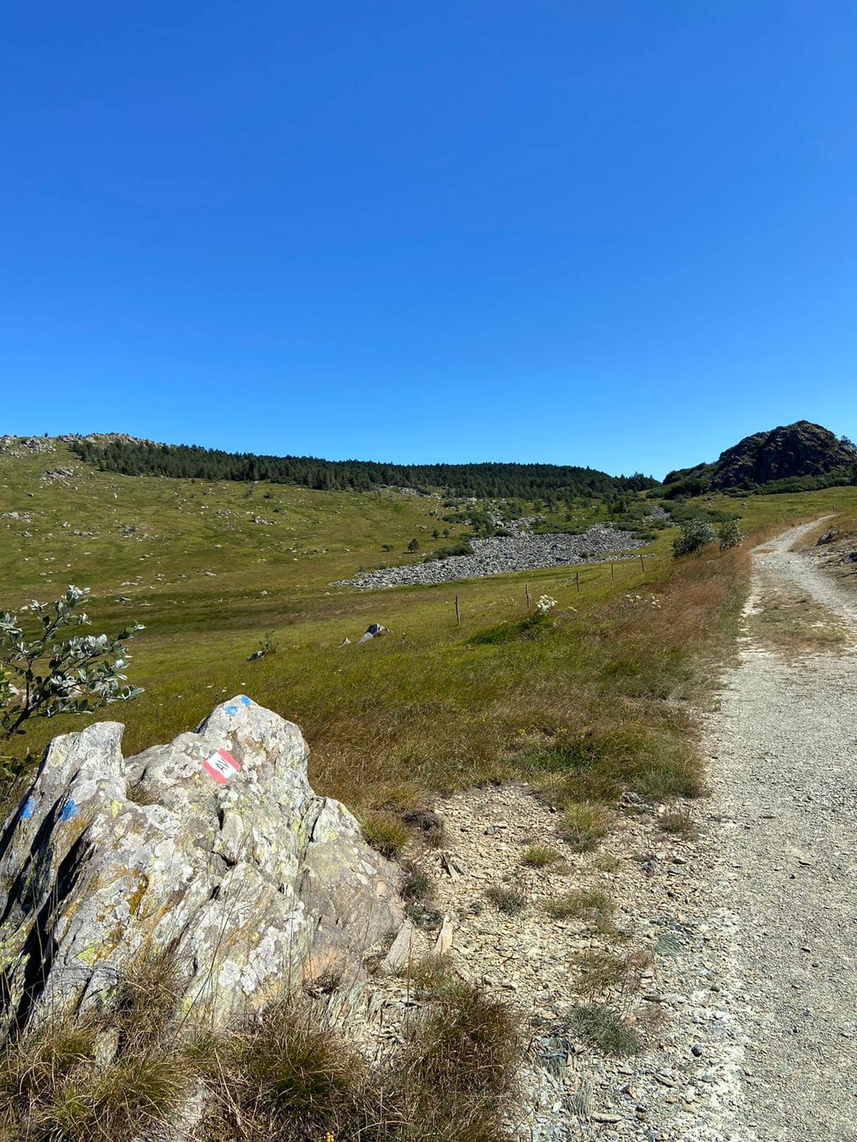
The stages are characterized by not too steep slopes and can be easily walked even by no expert trekkers. It is very important to choose right day to hike, avoiding venturing out with fog that can create many orienteering problems.
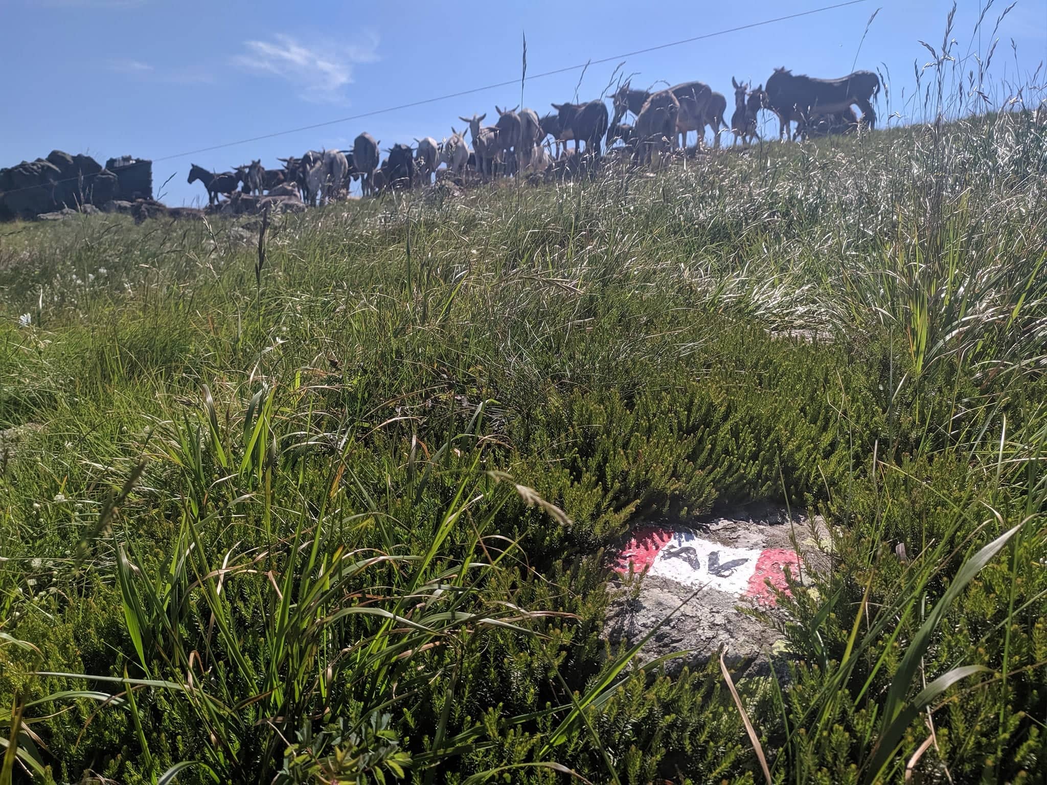
Between March and June it is possible to observe many colorful blooms, such as the beautiful Bertoloni violet, and the small "Dafne Odorosa", symbol of the Beigua Park; furthermore, along the “Alta Via dei Monti Liguri” you can see roe deer, hares, badgers, eagles, woodpeckers, larks and other passerines typical of the mountain clearings.