From the Arenzano motorway exit, turn right towards “Colletta”. Shortly before, turn right to “Terralba”, then take via Pecorara, at the first crossroad turn left until you reach Via Checchelli where you can park your car and take the access of the path, with the indication “Ponte Negrone”.
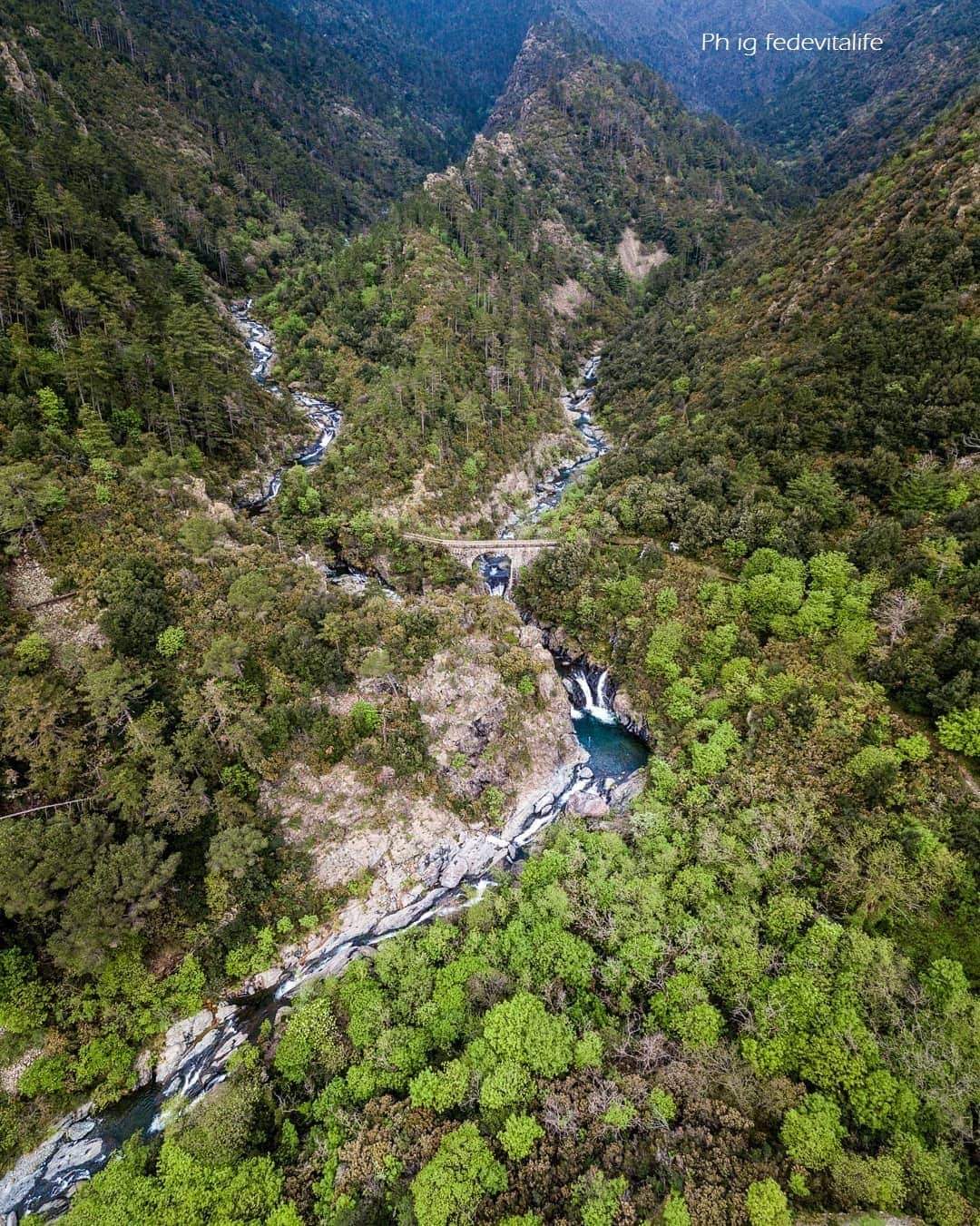
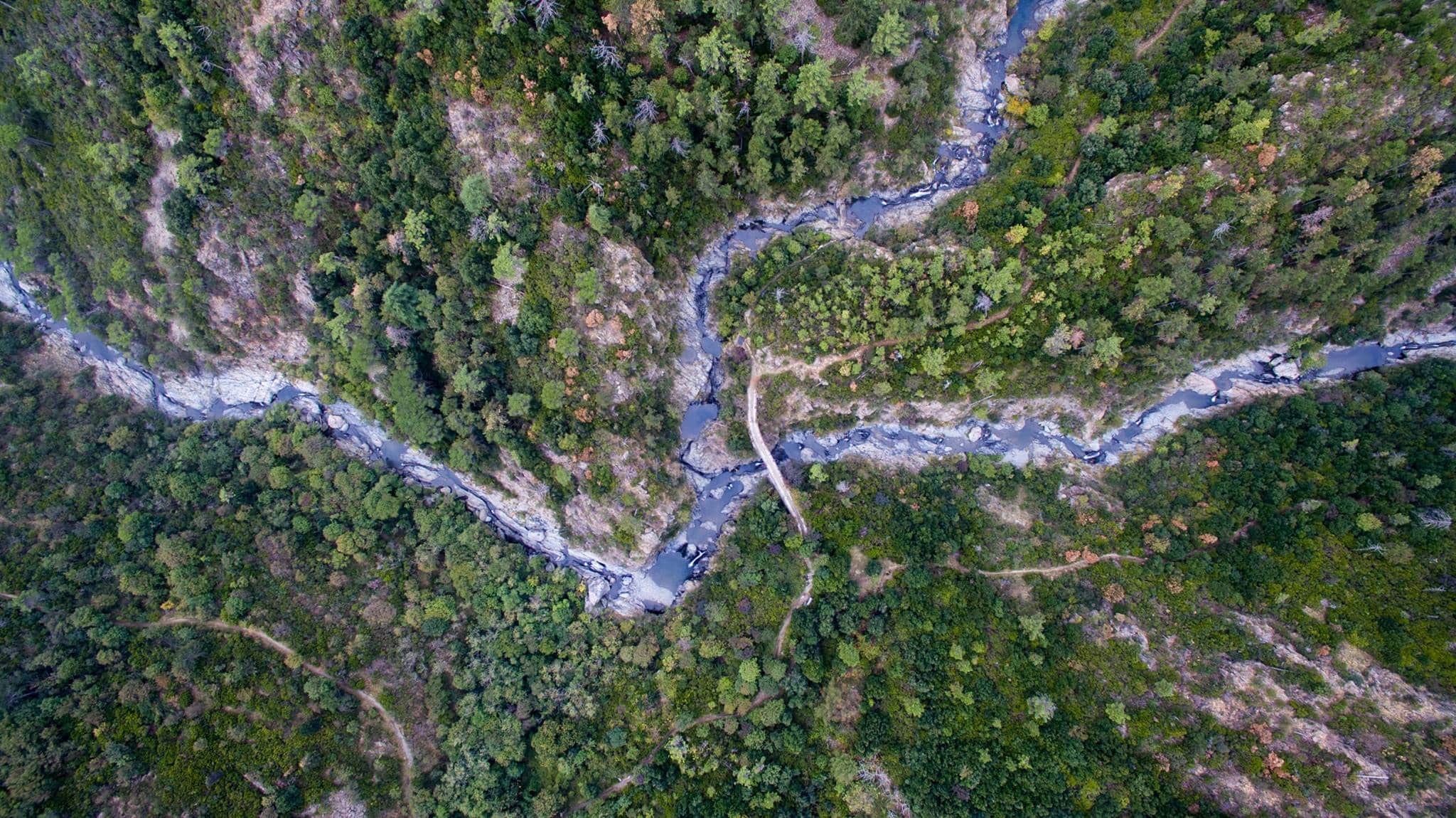
The path is about 3 km long, with sections in the woods and sections along the coast, runs almost entirely flat and is suitable for everyone. Slowly this trail enters the heart of Val Lerone, with wonderful views of the Sciguelo, Rama and Argentea mountains.
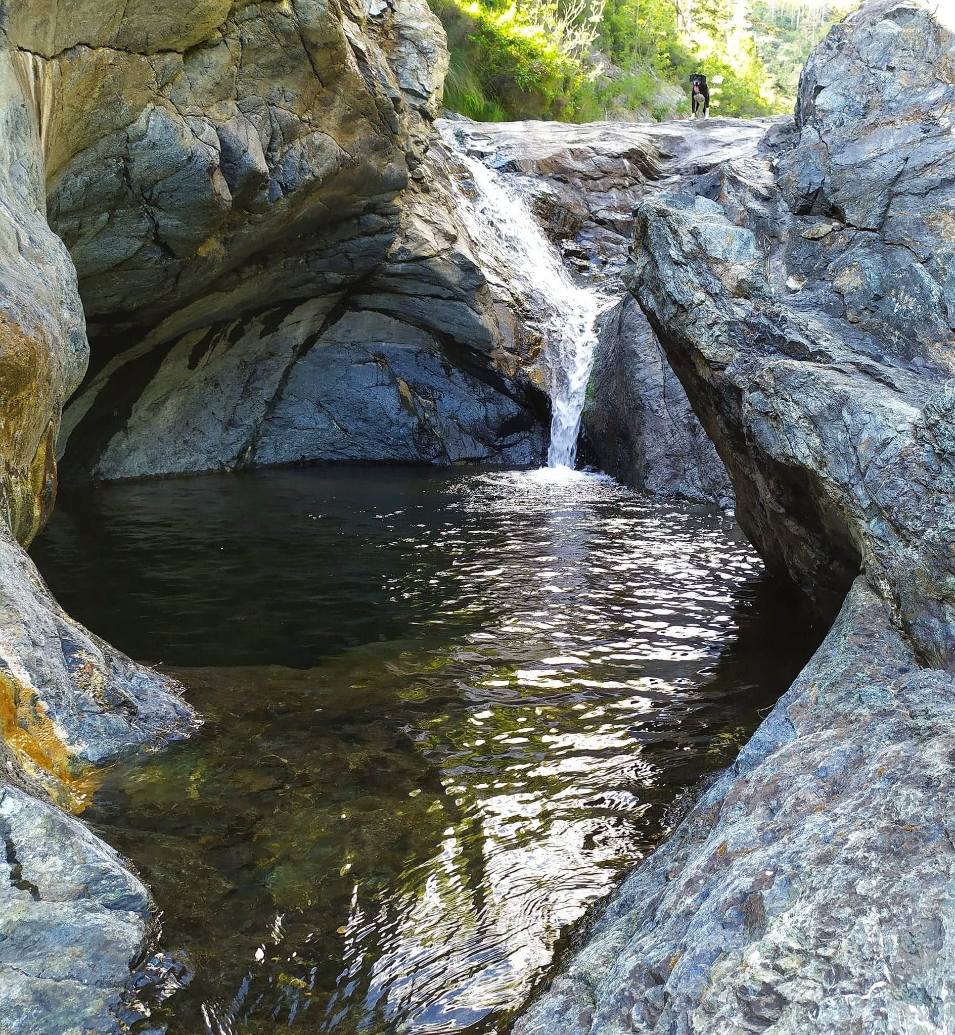
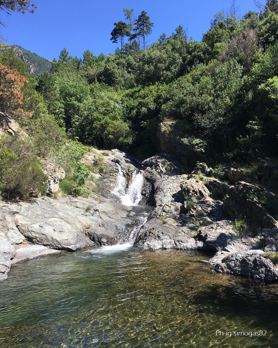
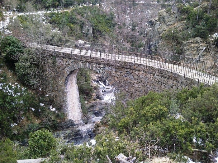
Then, the environment becomes more alpine, and loses the view of the maritime part. Below, the Lerone stream forms numerous waterfalls and lakes of crystalline water, which in the summer season invite you to a nice regenerating bath.
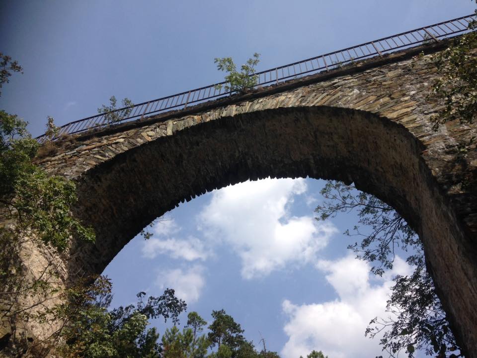
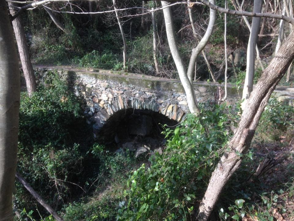
The bridge, as well as the whole mule track, are crossed by the Marchesa Aqueduct, which, capturing the waters from the nearby Rio Negrone, led them to Arenzano.